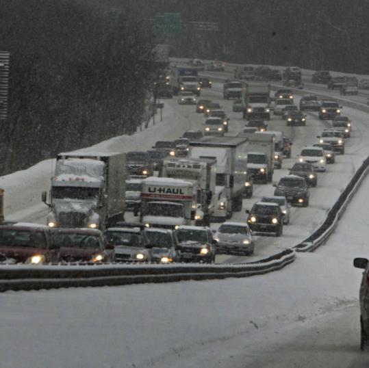
First update in nearly 3 years! I figure after last winter's 'non-winter', why not give it a shot. Here we are deep into December without much cold or snow since early November. Fear not, snow lovers. We are not nearly in the same horrible pattern of last year with a dominating polar vortex rotating south of Alaska, dropping feet and feet of snow up there, while we were in shorts in January. I repeat, that will not be the theme of this winter.
When do we start seeing a more wintery pattern? It's coming, but it may take time. There are indications that a storm the day after Christmas Day could move far enough east of us to drop some snow across (esp. interior) SNE. However, there is almost an equally likely chance that this will cut well west of us again to deliver more rain and southerly gales. However, with a negative NAO index, coupled with the fact that the gradient is moving south, with a high pressure nosing in from southern Canada, this thing could trend into a colder solution for SNE. I would feel better for snow if I was reading this from CNE or NNE. If you're reading this from Sugarloaf, more snow is coming for you by Friday, while the rest of us rain all the way up into the Mount Washington Valley towns.
By New Year's that gradient will start to sag south (coupled with colder climo), which leads me to believe that I will actually be able to post some snowfall accumulation maps by then with imminent storm(s). Who knows? Maybe we will be able to muster up something by the middle of next week.

No comments:
Post a Comment